

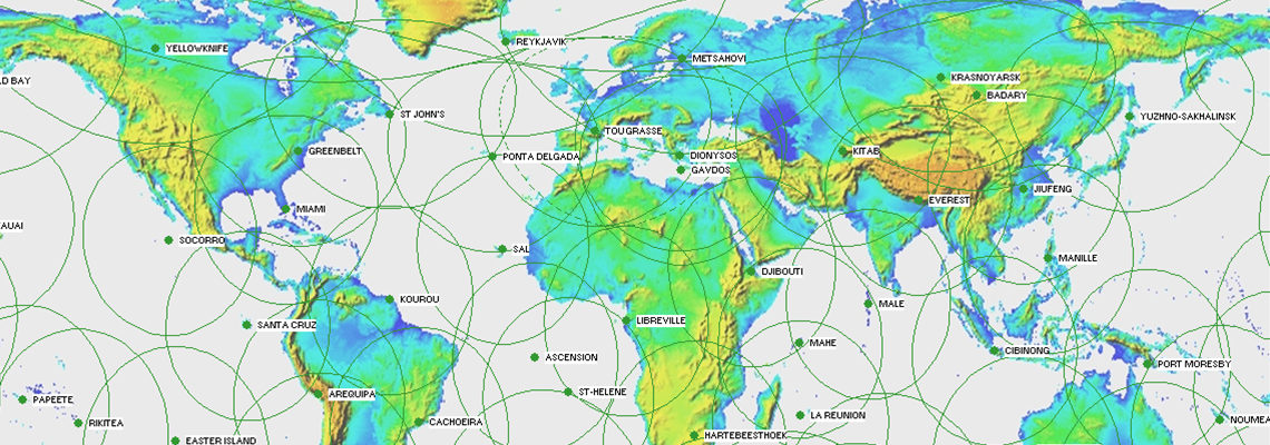
International DORIS Service
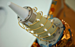
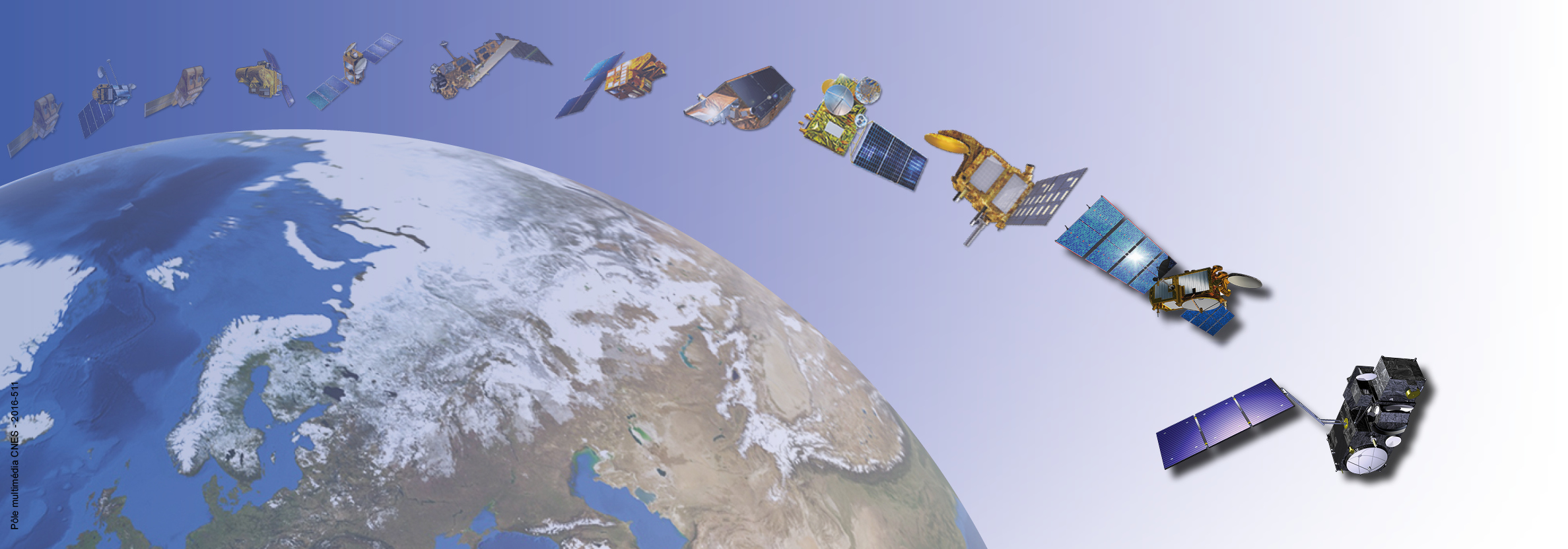
DORIS (Doppler Orbitography and Radiopositioning Integrated by Satellite) is a Doppler satellite tracking system developped for precise orbit determination and precise ground location. It is onboard the Cryosat-2, Jason-2, HY-2A, SARAL, Jason-3 and Sentinel-3A altimetric satellites. It also flew with SPOT-2, SPOT-3, SPOT-4, SPOT-5, TOPEX/POSEIDON, ENVISAT and Jason-1.
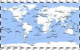
IDS is an international service which provides a support, through DORIS data and products, to geodetic, geophysical, and other research and operational activities. New proposals for Analysis Centers and temporary or permanent DORIS stations are welcome. See the call for participation.